Industrial Talk “Geospatial Data Analysis – theory and applications”
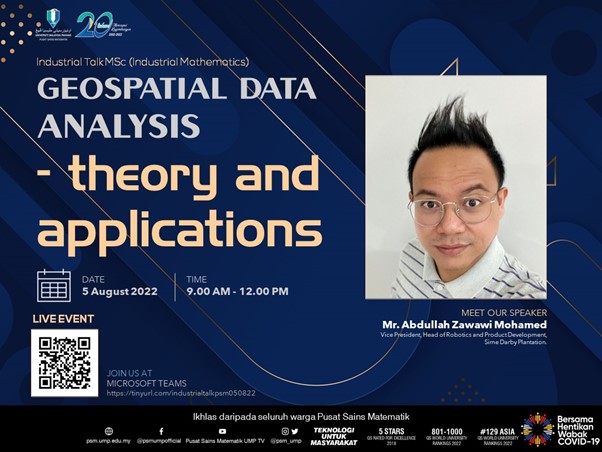
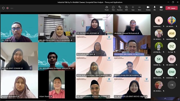
Centre for Mathematical Sciences (CMS) UMP has organised the Industrial Talk Master of Science (Industrial Mathematics) on 5th August 2022 entitled “Geospatial Data Analysis – theory and applications” in Microsoft Team platform.

Speaker of this sharing session is Mr. Abdullah Zawawi Mohamed who is highly passionate with Computer Scientist. He is a former Data Scientist and Senior Robotics Engineer at PETRONAS. He has years of experience related to Data Scientist, Machine Learning, and Robotics at different types of company and currently, he is Vice President, Head of Robotics and Product Development at Sime Darby Plantation which is the main job scope is to develop next generation robotics solutions for agriculture industry.


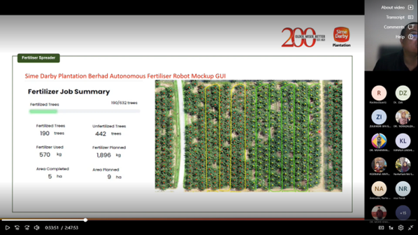
This sharing session divided into two parts which are the first part is the geospatial theories and the second part is about the geospatial application. Theoretically, geospatial is about the geography and mapping. It starts with geograpic information system (GIS), GIS ia a computer system for capturing, storing, checking, and displaying data related to positions on Earth’s surface. GIS can show many different kinds of data on one map such as streets, buildings and vegetation which enables people to more easily see, analyse and understand patterns and relationships. For the application, the hands-on training entitled “Geospatial Data Analysis” which use the application of Python and Google Colab is given to the participants. As example, the data used in the hands-on training is “New York City Taxi Trip Duration” which is can be downloaded from Kaggle Datasets: https://www.kaggle.com/datasets. Other than that, Mr. Abdullah Zawawi talk about the application of geospatial at Sime Darby Plantation which is “Sime Darby Plantation Berhad Autonomous Fertiliser Robot Mockup GUI”.


